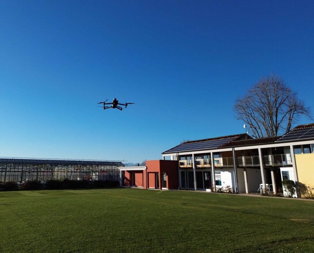
It’s a multispectral drone equipped with RKT (Real Time Kinematic), a technology that compared to the “conventional” GPS is able to obtain a positioning error in the space of a few centimetres. 🗺🎯
The four multispectral sensors installed allow us to control the health of plants, through indices such as: NDVI (Normalized Difference Vegetation Index) and NDMI (Normalized Difference Moisture Index), just to name a few. 🌿
Furthermore, thanks to the RGB camera, the acquired images can be processed by analyzing crop characteristics in both 2D and 3D.
The real potential of these technologies is expressed through the creation of high-resolution maps, and the powerful processing with algorithms and artificial intelligence that software provides. 👨💻 📹
In agriculture it is used to calculate vegetation indices, the count of plants, fruits and inflorescences.
Thus obtaining useful information to understand vegetative development, stress and ultimately potential yields during the crop cycle. 🌾 🍇 🍅
#LandlabSB #MultispectralDrone #Tecnology #AgriculturalInnovation